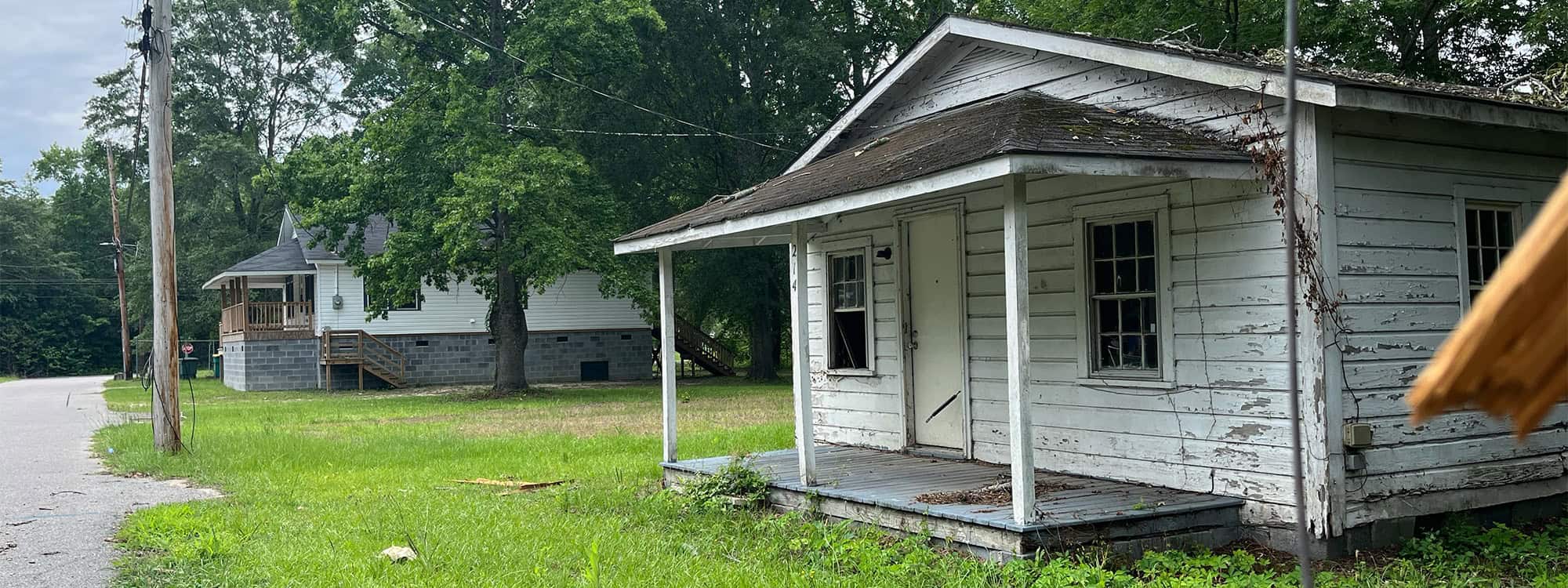
In the wake of increasing natural disasters—from hurricanes and wildfires to floods and earthquakes—communities across the United States are seeking more efficient ways to recover and rebuild. One often-overlooked but critically important tool in this effort is the Multiple Listing Service (MLS), the backbone of real estate data in North America. While traditionally used for buying and selling homes, the MLS can be adapted to support disaster recovery housing efforts in innovative and impactful ways.
The Role of MLS in Disaster Recovery
The MLS is a collaborative database used by real estate brokers and agents to share property listings, streamline transactions, and offer transparency in the housing market. In disaster scenarios, where entire neighborhoods may be damaged or destroyed, housing becomes an urgent priority—not only for displaced residents but also for emergency workers and reconstruction crews.
By adapting MLS systems for disaster recovery housing, local governments, relief organizations, and real estate professionals can work together more effectively to:
-
Identify available temporary housing
-
Track rebuilding efforts
-
Facilitate permanent relocations
-
Improve coordination between public and private sectors
Key MLS Adaptations for Disaster Recovery
Disaster-Specific Property Tags and Filters
In a post-disaster environment, speed is critical. MLS platforms can incorporate special tags or filters to identify properties suitable for temporary or emergency housing. These might include:
-
“Disaster Relief Eligible”
-
“Furnished Short-Term Rental”
-
“Accessible for Emergency Personnel”
-
“Rehab-Ready Property”
By tagging listings accordingly, real estate agents and disaster response teams can quickly match displaced families or emergency workers with appropriate housing options.
Integration with Government and Relief Agency Systems
MLS systems can be integrated with FEMA, Red Cross, and local emergency management databases to streamline data sharing. This coordination enables rapid deployment of housing resources, ensures accuracy in reporting, and helps prevent duplication of efforts.
For example, when a hurricane strikes and FEMA begins disbursing housing vouchers, a connected MLS can immediately surface suitable properties and notify participating agents, reducing delays in placing affected individuals.
Geospatial Mapping and Damage Assessment Overlays
Modern MLS platforms already use geospatial mapping tools, which can be enhanced with disaster impact data. By layering maps that show flood zones, fire damage, or wind paths over property listings, agents and responders can better assess the condition and availability of homes.
Such mapping tools also help identify which areas are safe and which are under reconstruction, informing decisions about where to house displaced individuals and how to allocate rebuilding resources.
Temporary Listing Flexibility and Fee Adjustments
During crises, MLS organizations can revise their policies to allow non-traditional listings, such as:
-
Government-owned properties
-
Modular and mobile homes
-
Donated private residences
-
Vacant vacation rentals
Fee structures for these listings could be waived or reduced to incentivize participation. By encouraging a broader range of properties to enter the system, communities can maximize the housing pool in times of need.
Communication Tools for Rapid Updates
MLS platforms should include built-in communication tools that allow agents and relief coordinators to send alerts, updates, and inquiries in real time. For instance, a centralized dashboard could notify users of:
-
New housing availability
-
Changes in property status
-
Local emergency ordinances or zoning waivers
These features reduce response time and ensure that everyone working on recovery efforts is aligned and informed.
Data Analytics for Recovery Planning
Post-disaster, real-time and historical MLS data can be invaluable for assessing the scale of housing needs, understanding displacement trends, and planning long-term redevelopment. MLS analytics can:
-
Show which neighborhoods have the highest housing loss
-
Estimate the number of families needing temporary shelter
-
Track the rate of reconstruction and property re-entry
As a result, this information helps public officials prioritize funding, adjust building codes, and monitor the effectiveness of disaster recovery programs.
Case Study: Hurricane Ida and the Louisiana Real Estate Commission
Following Hurricane Ida in 2021, the Louisiana Real Estate Commission worked with local MLSs to support displaced residents. Temporary rule changes allowed for easier short-term rental listings, while realtors used MLS tools to track property damage and recovery timelines. The quick adaptation of MLS systems helped thousands of residents find temporary homes and facilitated coordinated rebuilding across several parishes.
Challenges and Considerations
While the benefits are clear, adapting MLS for disaster recovery housing is not without challenges:
-
Data Privacy: Sharing sensitive housing data with government entities must comply with privacy laws and user consent protocols.
-
Standardization: Not all MLSs use the same systems or tags, which can complicate cross-jurisdictional efforts.
-
Training: Real estate professionals may need additional training to handle disaster-related housing issues ethically and effectively.
-
Technology Access: In disaster-struck areas, internet outages and power loss may limit access to MLS platforms, requiring offline capabilities.
Building a More Resilient Future
Given this context, the climate crisis and the rising frequency of natural disasters demand a new level of preparedness across all sectors—including real estate. Consequently, by modernizing MLS systems to support disaster recovery housing, communities can reduce human suffering, accelerate recovery timelines, and ensure equitable access to shelter in times of crisis.
As resilience planning becomes a central concern for cities and towns, MLS organizations have an opportunity—and a responsibility—to be part of the solution. Through collaboration, innovation, and policy support, MLS can evolve from a transactional tool into a life-saving resource when it matters most.
Frequently Asked Questions
What is the primary role of an MLS (Multiple Listing Service) in normal real estate operations, and how can it be adapted for disaster recovery housing?
In regular real estate operations, the MLS serves as a centralized database where licensed real estate professionals list properties for sale or rent. Specifically, it provides real-time access to housing data, which in turn promotes transparency and facilitates cooperation between agents.
For disaster recovery, the MLS can be adapted to:
-
Identify and list emergency or temporary housing.
-
Include property tags like “disaster-relief eligible” or “short-term rental.”
-
Integrate with disaster response agencies (like FEMA) for real-time coordination.
-
Provide mapping tools that overlay damage zones to help responders assess available housing.
These adaptations enable faster placement of displaced individuals and better coordination of recovery efforts.
How can geospatial mapping in MLS systems enhance disaster recovery efforts?
Geospatial mapping allows users to visualize property locations with overlays such as:
-
Flood zones
-
Wildfire boundaries
-
Power outage areas
-
Structural damage assessments
In disaster recovery, this functionality helps:
-
Identify which homes are still habitable or safely accessible.
-
Guide emergency responders and housing coordinators in finding viable shelter options.
-
Aid rebuilding efforts by locating severely affected areas.
By integrating real-time mapping with MLS listings, agencies can make faster, more informed decisions.
Why is integration between MLS systems and emergency management agencies important during disasters?
Integration ensures that:
-
Housing data is updated and shared in real time.
-
FEMA, Red Cross, and local governments can access available property listings that meet disaster housing needs.
-
Agencies avoid duplication of services and ensure efficient use of resources.
For example, FEMA housing vouchers can be matched with available rentals in the MLS database, speeding up the placement process for displaced families. Such coordination saves time and lives during emergency situations.
What are some potential challenges when adapting MLS systems for disaster response?
Some of the main challenges include:
-
Data Privacy: Sharing MLS data with government or relief agencies must comply with data protection laws and privacy agreements.
-
System Incompatibility: Different regions use different MLS platforms with varying formats, which can hinder cross-agency cooperation.
-
Limited Connectivity: Disasters often disrupt power and internet access, limiting the ability to access MLS systems online.
-
Lack of Training: Agents may not be trained in emergency housing protocols or working with relief organizations.
Overcoming these barriers requires pre-planning, system upgrades, and policy reforms to build resilience into MLS platforms.


